The 5 Most Scenic Hikes in the Pictured Rocks
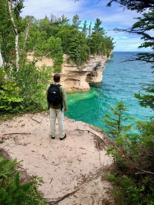 Hiker on the North Country Trail in the Pictured Rocks National Lakeshore. PC: National Park Service
The Pictured Rocks National Lakeshore sprawls 42-miles along the shores of Lake Superior in Michigan’s Upper Peninsula between the cities of Munising and Grand Marais. Managed by the National Park Service, the rural area has an extensive network of hiking trails that lead to breathtaking waterfalls, gorgeous beaches, towering cliffs, and majestic sand dunes.
Why Pictured Rocks is a
Bucket List Destination
While the Picture Rocks park is an incredible landscape best experienced from the water, hiking the trails allows you to take in the natural beauty in a personal and serene way. Here are our top recommendations for the best sights in the park:
1. Grand Portal Point
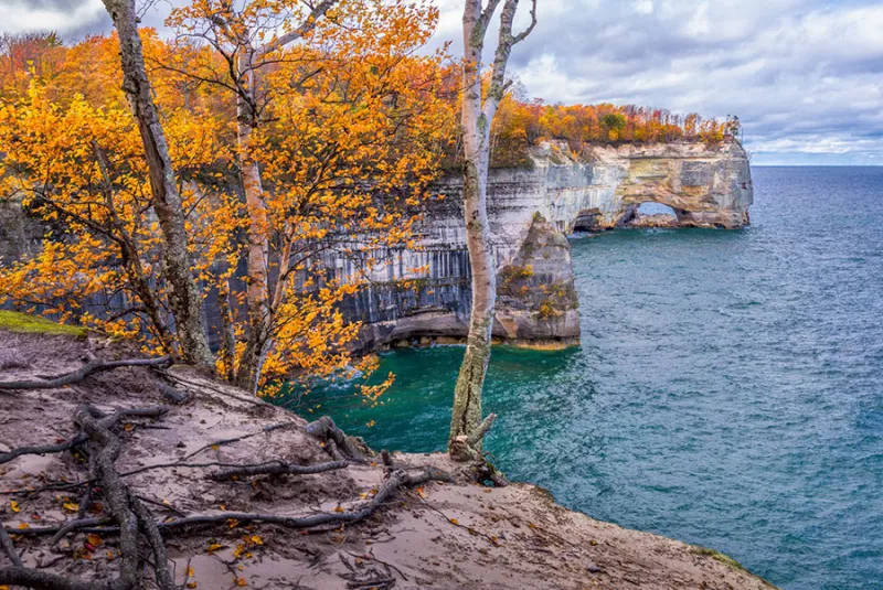 Grand Portal Point. PC: Tim Trombley
Standing at approximately 300-feet tall, Grand Portal Point is one of the most breathtaking vistas in the park. The natural archway – which collapsed in the early 1900s – can be accessed after a several-mile hike from the Chapel/Mosquito trailhead.
2. Miners Falls, Beach & Castle
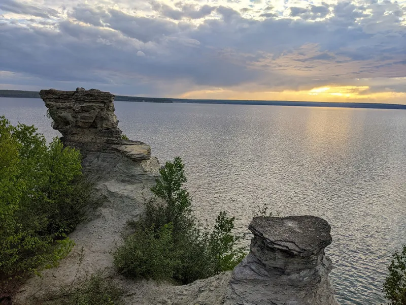 Miners Castle. PC: @maymiejameson
Does Pictured Rocks really have a castle? Well, kind of.
Erosion, weather, and Lake Superior have all played a role in creating the interesting Miners Castle, and fortunately, people of all abilities can view the castle as trails to the overlooks are paved and easy to reach.
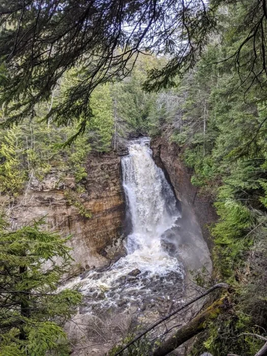 Miners Falls. PC: @maymiejameson
Nearby Miners Beach is a must see, as well, as it offers gorgeous views of the cliffs and Bridalveil Falls to the east. Then there’s Miners Falls, an impressive waterfall that cascades over 50 feet and requires a 1.2-round trip walk in the woods to reach, which is also close by.
A castle, beach, and waterfall – what more could you want? The Miners area is 12 miles east of Munising off Miners Castle Road.
3. Chapel Rock
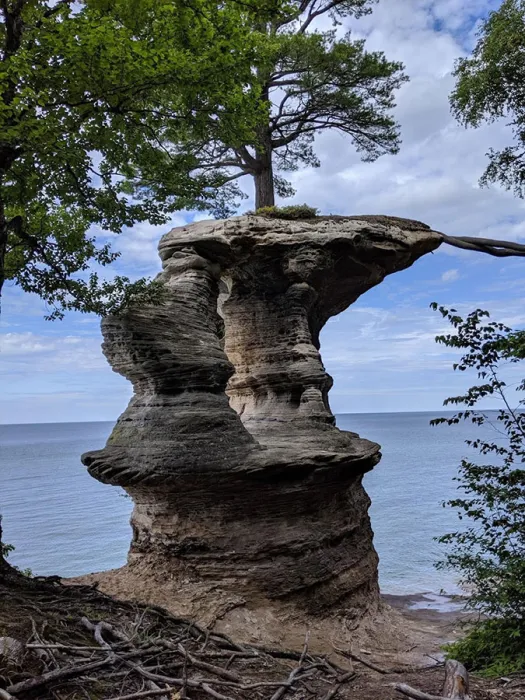 Chapel Rock in the Pictured Rocks National Lakeshore. PC: @maymiejameson
A remarkable feat of nature, Chapel Rock is a sandstone relic dating back 3,800 years to the Cambrian period. The rock once connected to the mainland through an archway that gave way during the 1940s. A solitary white pine, estimated to be 250 years old, stands tall on Chapel Rock.
Viewing this beautiful formation by foot requires a 6-mile (roundtrip) moderate hike with the access point at the Chapel/Mosquito trailhead.
4. Au Sable Light Station & Dunes
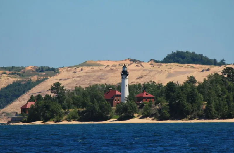 Au Sable Light Station and Grand Sable Dunes. PC: Munising Visitors Bureau
The Au Sable Light Station, standing tall at 86 feet, exudes a mysterious yet alluring charm. The path leading to it, adorned with tall pines and birches, spans 1.5 miles (one way) and is located approximately 12 miles west of Grand Marais. Tours are available depending on the staff’s schedule for a small fee during mid-summer to fall.
Grand Sable’s sand dunes, also on the eastern end of the Pictured Rocks park, tower over 300 feet above the lake. The Log Slide Overlook, where loggers pushed timber down a chute into Lake Superior, is the best way to see the dunes in all their glory. Within close proximity lies Sable Falls, another sight not to be missed after a five-minute walk.
5. Munising Falls & Sand Point
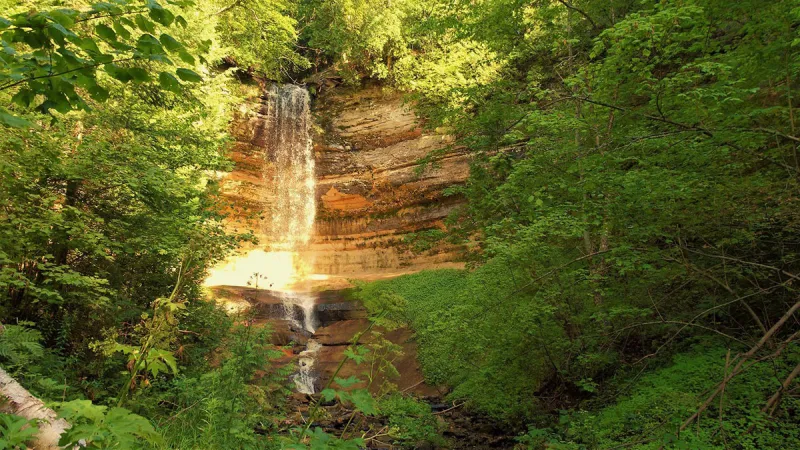 Munising Falls. PC: Munising Visitors Bureau
An awe-inspiring waterfall standing 50 feet tall, this natural wonder is accessible year-round. The paved trail, stretching 800 feet and lined by Munising Creek, leads you to the base of the cascade. For a more panoramic view, climb the two sets of stairs leading to platforms—one of which ascends over a limestone cliff, offering a breathtaking sight.
Pictured Perfect: Kayaking the Pictured Rocks
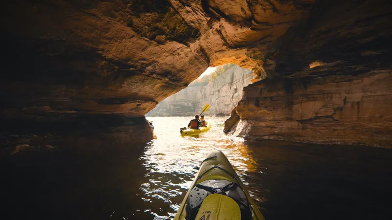
The name “Pictured Rocks” is derived from the mineral streaks that are visible on the cliffs. Remarkable colors are produced when groundwater emerges from cracks and flows down the rock face. The best way to see the colors is by being on the water. To view the magnificent hues on the cliffs up-close, plan a trip with Pictured Rocks Kayaking.
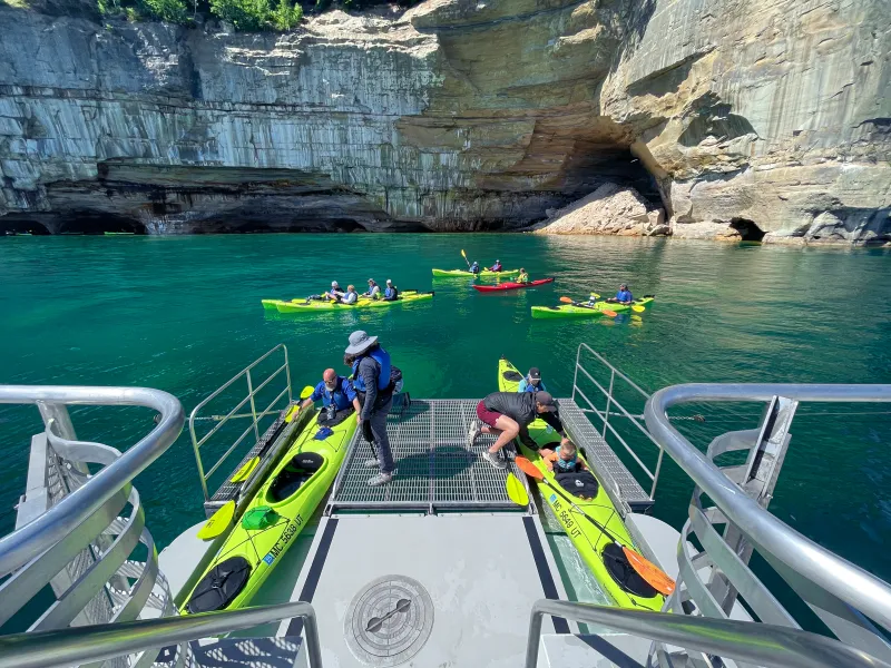
As the only outfitter in Munising that provides offshore launching, passengers travel the lakeshore aboard a kayak-launching boat and get to paddle along the best parts of the park while spending time on majestic Lake Superior. Although nothing beats the serenity of hiking a trail in the forest, getting on the water is a must.
Tickets can be purchased online or by calling (906) 387-5500.