
How to Get to Pictured Rocks from Detroit, MI
Metro Detroit has energy to spare. Every so often, though, you need to trade the traffic for something quieter. Getting from Detroit to Pictured Rocks National Lakeshore, up in Michigan’s Upper Peninsula, means one straight shot north on I-75 — no plane ticket, no rental car, no baggage claim. It’s 410 miles and about six and a half hours behind the wheel. Here’s the route, plus the stops worth making along the way.
Why Pictured Rocks National Lakeshore?
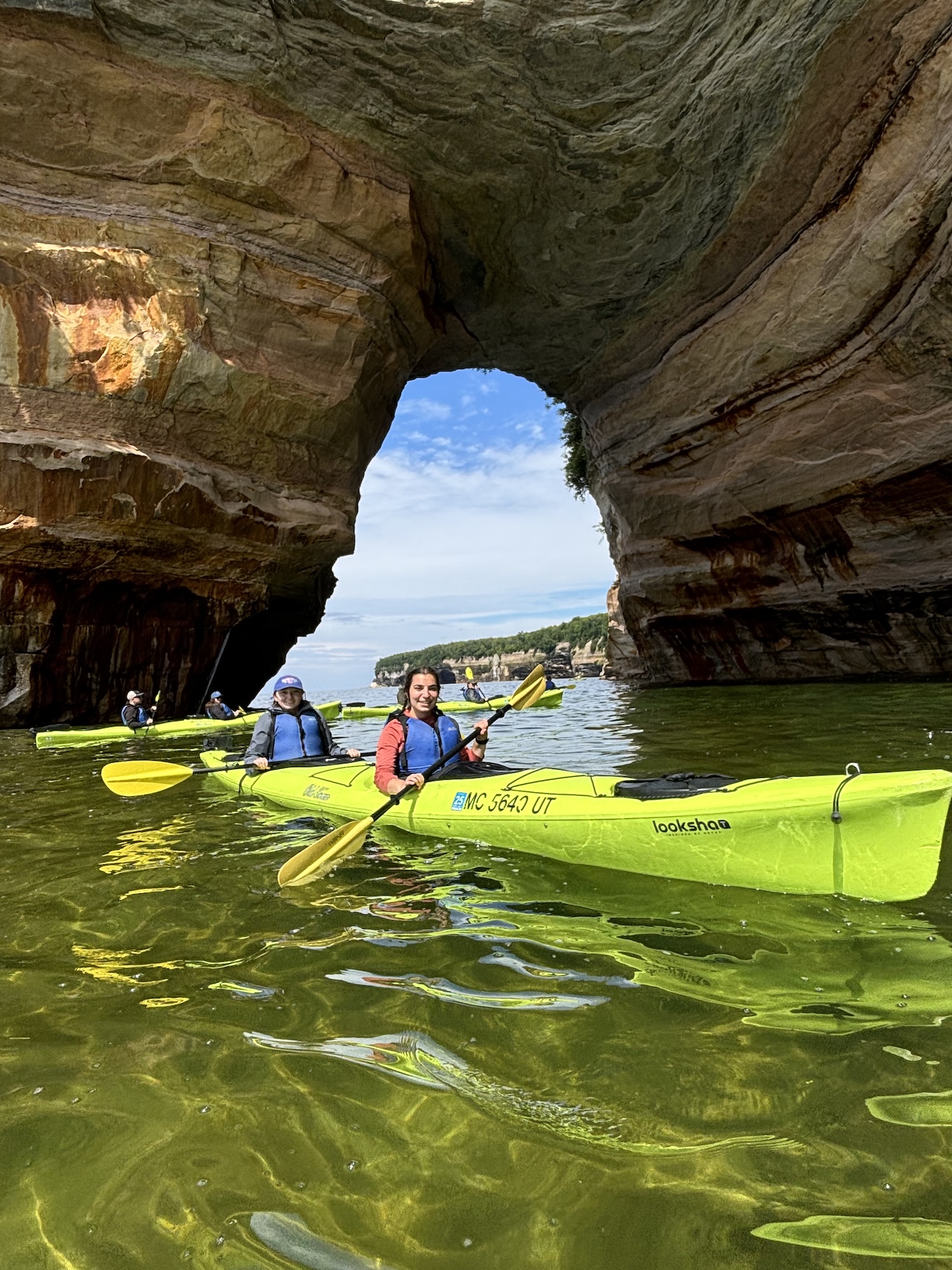
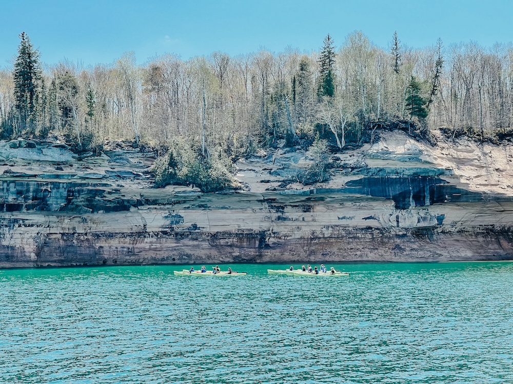
The lakeshore runs 42 miles along Lake Superior between Munising and Grand Marais, and about 15 miles of that is sandstone cliff, rising anywhere from 50 to 200 feet straight out of the water. Behind it sit sand dunes, hiking trails, quiet beaches, waterfalls, and a lot of forest. But the cliffs are the reason people come. Groundwater seeps through cracks in the rock and leaves mineral streaks behind: iron stains the sandstone red and orange, copper turns it blue and green, manganese leaves black. Seen from the water, the whole wall reads like a painting, which is exactly how the Pictured Rocks National Lakeshore got its name.
Munising, the town at the western end, makes the obvious base. Small-town feel, good food, local art, and a walkable downtown — and it’s where every tour launches.
For the best view of the cliffs, get on the water: either a boat cruise or a kayak trip out of Munising.
How Do I Get from Detroit to Pictured Rocks?
The route: I-75 North to St. Ignace, then US-2 West and M-28 West into Munising. Roughly 410 miles, about six hours and forty minutes of driving before you stop for anything.
Detroit to Frankenmuth — 90 miles, about 1 hour 25 minutes
Frankenmuth to Gaylord — 125 miles, about 2 hours
Gaylord to Mackinaw City — 73 miles, about 1 hour 10 minutes
Across the Mackinac Bridge to St. Ignace — 9 miles, about 15 minutes
St. Ignace to Munising — 115 miles, about 1 hour 50 minutes
On the way north you’ll leave the Motor City’s interchanges behind for a straight run up the mitten. The drive crosses the Mackinac Bridge, threads through Upper Peninsula forest, and ends on the shore of Lake Superior, the largest freshwater lake in the world by surface area. If you’re doing a weekend, six and a half hours still leaves you most of two days in the park. If there’s more room in the schedule, there’s plenty worth pulling over for.
Frankenmuth: Bavarian Charm & World’s Largest Christmas Store
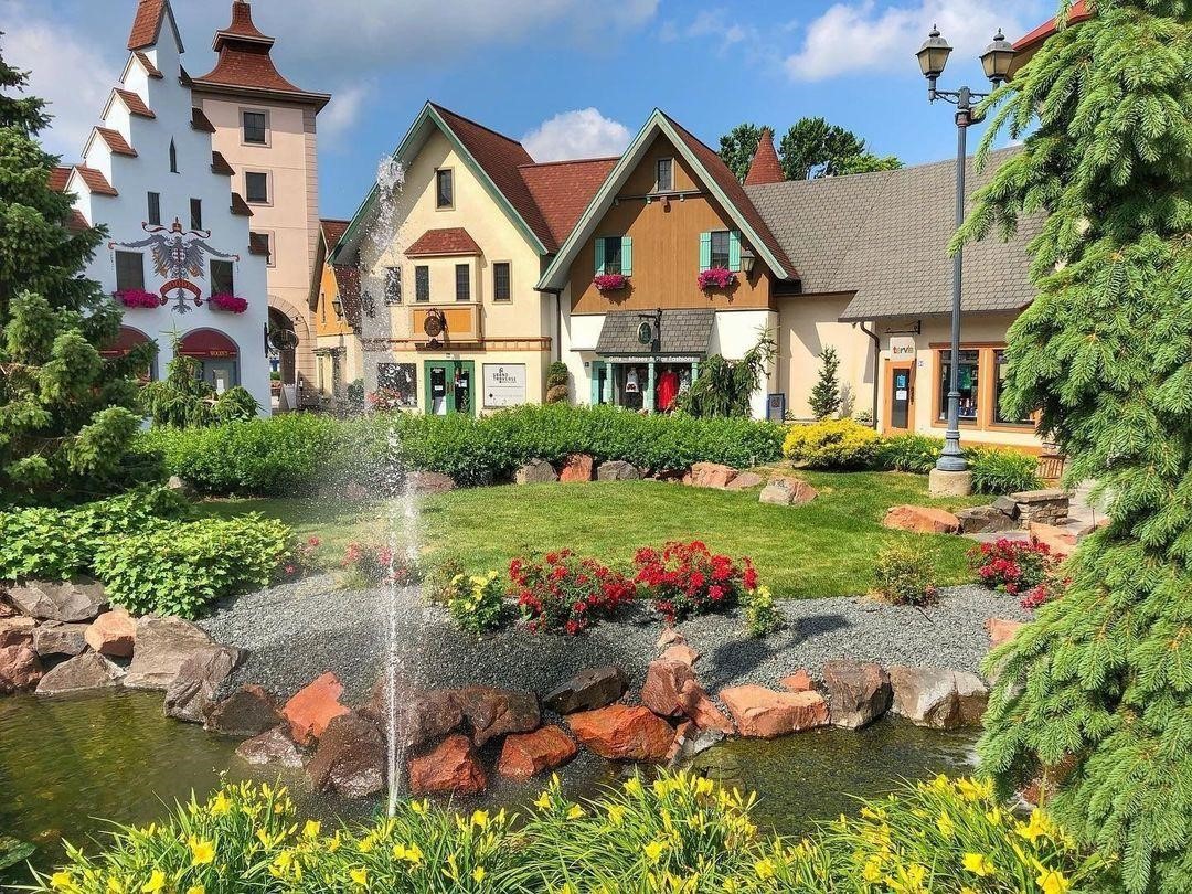 Frankenmuth’s River Place Shops. Instagrammer @riverplaceshops
Your first stop comes about 90 minutes in. Frankenmuth — Michigan’s “Little Bavaria” — sits a few minutes off I-75, and it’s built for exactly this kind of break. Stretch your legs along the River Place Shops, then sit down to a family-style chicken dinner at Zehnder’s or the Bavarian Inn. Before you get back on the highway, swing through Bronner’s Christmas Wonderland. It’s the world’s largest Christmas store, it’s open year-round, and it’s exactly as odd and delightful as that sounds.
Gaylord & Mackinaw City: Alpine Villages & “The Mighty Mac”
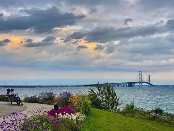 Mackinac Bridge View Park. PC: St. Ignace Visitors Bureau.
Another two hours up I-75 brings you to Gaylord, an alpine-themed town with Swiss-inspired storefronts downtown and a resident elk herd you can usually spot on the north edge of town. Eat something here. From Gaylord it’s about seventy minutes to Mackinaw City at the tip of the Lower Peninsula, and then the best part of the drive: five miles of suspension bridge across the Straits of Mackinac. Once you’re across, pull off at Bridge View Park in St. Ignace for the postcard shot of the Mighty Mac, or get a burger at Clyde’s Drive-In, where the Big C is three-quarters of a pound and the chain has been at it since 1949.
The Scenic Final Leg: Through the Heart of the U.P.
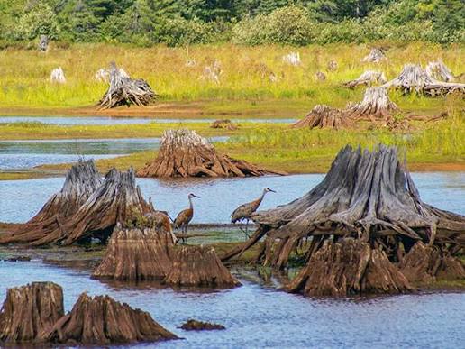 Seney National Wildlife Refuge PC: Manistique Tourism Council
West of St. Ignace the traffic thins out and stays thin. Stop at Straits State Park for one more look back at the bridge, then settle in for the last two hours. The route runs past Seney National Wildlife Refuge, 95,000 acres of marsh and bog that draw sandhill cranes, trumpeter swans, loons, and bald eagles. If you’re short on time, the Marshland Wildlife Drive is a seven-mile loop you can do without leaving the car. After Seney, M-28 West runs straight into Munising.
What Do I Do When I Get to Munising?
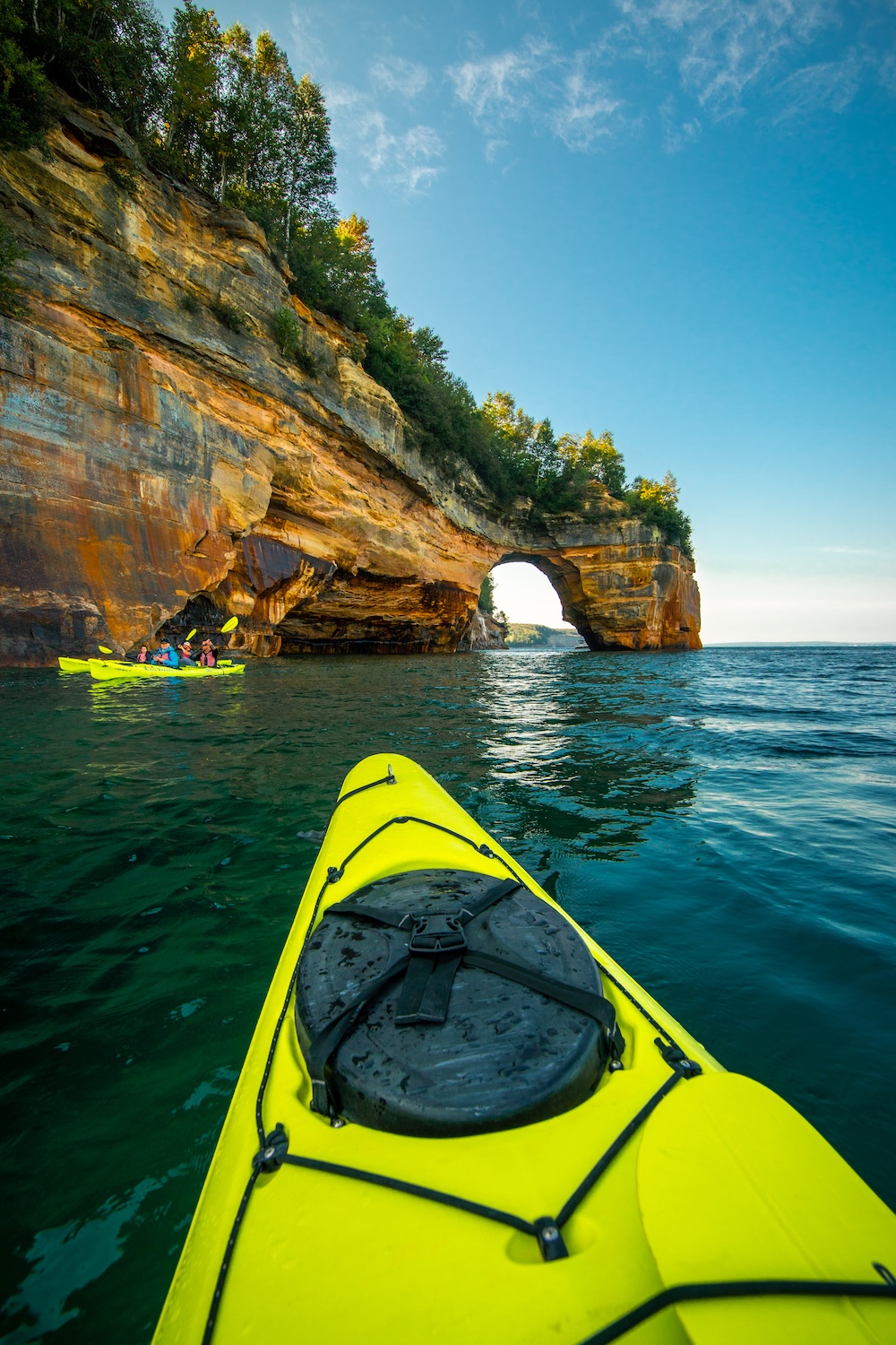
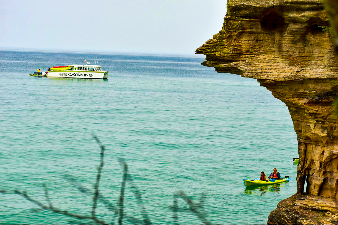
Get on the water first. Pictured Rocks Kayaking is the only outfitter here that runs a support boat, which means you launch offshore instead of paddling out and back, and the boat stays with you the whole tour. There are three guided tours to choose from: the Miners Castle Tour at $99 for about three hours, the Ultimate Kayak Tour at $168 for the five-mile stretch past Rainbow Cave and Chapel Rock, and the new Spray Falls Tour at $199, the only guided paddle that reaches the base of the 70-foot falls.
After that, spread out. There are trails in the park and in the surrounding Hiawatha National Forest, more than 20 waterfalls within reach including Munising Falls and Miners Falls, and a string of sand beaches along the lake. Order the whitefish. Order a pasty. The local museums cover the area’s maritime history, and there is a lot of maritime history.
Book a place to stay before you leave — Munising is small, and summer weekends fill up. There are lakeside hotels, cabins in the woods, and rustic or modern campgrounds. Book the kayak tour at the same time. Tours run daily through the season, but the Spray Falls trip is new this year and seats go early. Questions about what to bring or how the weather policy works are answered on the FAQ page.